이미지 연출 (출처: https://www.youtube.com/watch?app=desktop&v=q3wXggCqY_8) 1.
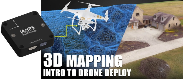
Definition MMS MMS(Mobile Mapping/Map-building System)는 mobile vehicle로부터 geospatial data*를 모으는 과정과 방법론을 통칭합니다. ※ geospatial data*: remote sensing system 혹은 모듈로부터 수집되는 GNSS, IMU(dynamic/ static state data acquisition), photographic, radar, laser, LiDAR 등의 데이터를 활용, 조합합니다. 필드에서 운용되는 시스템의 레퍼런스 맵 지원과 SLAM 등에 활용될 수 있는 정보를 제공할 수 있습니다.
MMS 시스템은 mobile platform에 time synchronized navigation sensors와 imaging sensors를 마운팅하는 것을 기본 구성으로...
#
AHRS
#
MobileMappingSystem
#
OntologyBasedKnowledgeRepresentation
#
Perception
#
planning
#
RobotObjectRecognition
#
VisualPlaceRecognition
#
가속도센서
#
로버
#
MobileMapbuildingSystem
#
MMS
#
AutomatedDeliveryRobot
#
control
#
coordination
#
iAHRS
#
IMU
#
IntelliThings
#
LastMile
#
Logistics
#
진동센서
![[Robor]네이버 공식 스토어 포인트 적립 이벤트 진행](https://mblogthumb-phinf.pstatic.net/MjAyMTA3MDJfMiAg/MDAxNjI1MjA3MTcyOTQ5.CZCcWkbVOUITlFBUCVXA_bvqlwChPatONvIcmADymaMg.bSMJSV2X_QMEV8JFh8RNT5p0B42ZDCeEP_XOlcHzT7kg.PNG.robor21/image.png?type=w2)